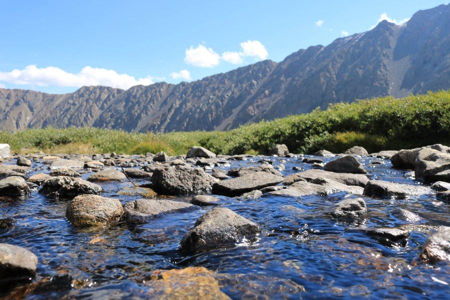
Colorado State University researchers are using field campaigns in Colorado, Alabama and Oklahoma to prepare for NASA’s upcoming INCUS satellite mission, a project designed to answer a question scientists have wanted to tackle for years: How do storms form and why do only select storms intensify and produce severe weather?
INCUS, or the Investigation of Convective Updrafts, is scheduled to launch no later than August 2027. The mission will use three small satellites flying in close succession to capture rapid snapshots of storms from space.
Susan van den Heever, principal investigator for INCUS and a university distinguished professor in CSU’s department of atmospheric science, said the mission is exciting because it aims to collect a kind of measurement researchers have long wanted but could not previously record.
“It’s a really novel mission,” van den Heever said. “The goal of the mission is to study transport in storms — so it’s the transport of air and water through storms.”
That transport, referred to as convective mass flux, matters because it is closely tied to severe weather.
“The more air and water you flux up with, the more severe storms tend to be,” van den Heever said.
But current weather forecasting models do not represent the process well, which is one reason storm intensity, and severe weather by association, can remain difficult to predict accurately.
This mission also has broad practical value. Storms that produce flooding, hail, strong winds and tornadoes affect communities every year, and INCUS is designed to improve understanding of how those storms form and strengthen. Van den Heever said the mission could help researchers “do a better job protecting society” by improving our understanding and prediction of severe weather.
One reason that such missions have not been possible in the past is that it has taken time for the development of miniaturized technology to catch up to industry demands. INCUS depends on three spacecraft-carrying miniaturized instruments that can fly close together and measure the same storm at short time intervals. Such close measurements are not possible with traditional, large space-based platforms.
“If this is such an important thing for us to understand, why didn’t (we) do it earlier?” van den Heever asked rhetorically. “We needed the instrumentation industry to catch up.”
The satellites will fly in what she described as a train, separated by about 30 and 90 seconds. That allows them to observe the same storm in sequence so researchers can see how the mass flux through storms changes over short periods of time. Previous missions could observe different aspects of storms, but INCUS is the first to show how the motions and transport inside storms evolve over limited periods.
Ahead of the launch, the team has been testing its methods on the ground.
“Before you launch a mission and fly it, you want to test as many things as you possibly can,” van den Heever said.
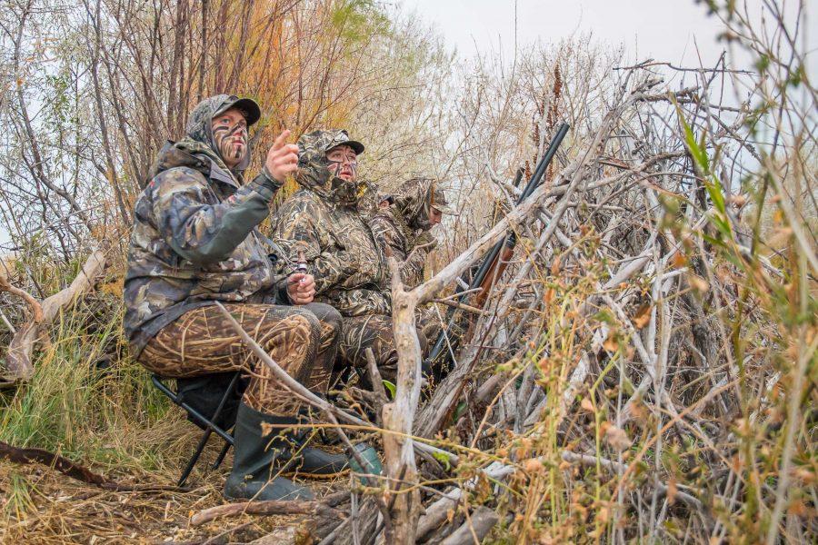
Using ground-based radars, researchers have been taking repeated measurement slices through storms in a way that mirrors the observing strategy INCUS will use in orbit. Those campaigns have also allowed the team to test algorithms and compare storms from different parts of the country.
The work is already producing results. Van den Heever said researchers have learned more about the scales at which storms respond to moisture, temperature and wind, and have gained new insight into anvil clouds and storm intensity even before the mission has launched.
“What’s most exciting to me is to … get this measurement that the community has wanted for such a long time,” said van den Heever.
Van den Heever said success in the next five to 10 years would mean more than a successful launch.
“Success … means our algorithms have all worked beautifully, the measurements that we are making are really meaningful to the community, and they’ve brought about a substantial change in the way we understand and predict severe storms,” van den Heever said.
CSU’s role in the mission extends beyond atmospheric science and into engineering and technology. Venkatachalam Chandrasekar, a university distinguished professor in electrical and computer engineering, said his work focuses on ground validation — comparing what INCUS sees from space with trusted radar observations from Earth — and on radiometer technology connected to the mission.
“We use dual-polarization technology that tells, where is water? Where is ice? What kind of precipitation is falling on the ground?” Chandrasekar said.
That comparison helps researchers confirm that the satellite measurements obtained from space are accurate. He said CSU students are deeply involved throughout the project, from system design and testing to data analysis and modeling.
“Students are all over the place,” Chandrasekar said. “They’re the main engine of the whole program.”
For students, he said, the value goes beyond one mission. Working on projects like INCUS teaches them how to solve unfamiliar problems, collaborate across fields and handle challenges that do not come with step-by-step instructions.
“Once you get engaged in programs like this, you are ready for the challenges of tomorrow, which you don’t even know what (they may be),” Chandrasekar said. “You are ready to take on the world.”
Reach Maci Lesh at science@collegian.com or on social media @RMCollegian.