

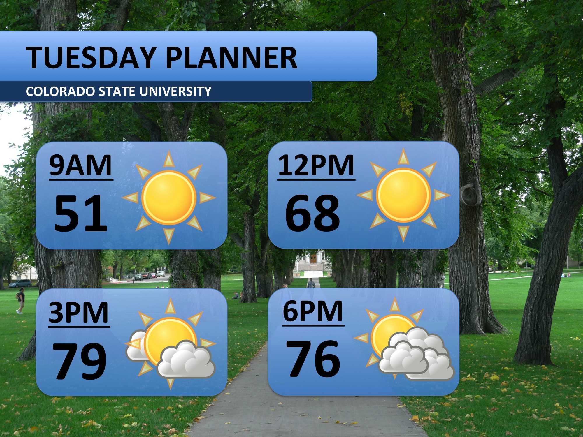
You may recall the absolutely beautiful weather we had this past Saturday, a high of 81 degrees. Well, we have another day just like it on tap for Tuesday. Temperatures will near the record high of 80 degrees this afternoon. Expect plenty of sunshine and calm winds.
Tuesday’s summer like weather will continue into Wednesday. With enough heat and some approaching moisture, I expect we’ll see an afternoon thunderstorm or two in Fort Collins. That moisture increases significantly into Thursday.
Weather models have rain and snow Thursday morning. The bulk of the heavy, wet snow is pegged for Thursday afternoon. More snowflakes fall Thursday night, possibly wrapping up Friday morning. Both days will be much cooler than the 70s we’ve been experiencing! Notice temperature drop to the teens Saturday morning. Conditions are expected to moderate into the weekend — 50s Saturday, about 70 Sunday.

Meteorologist Austin Harley can be reached on Twitter: @wx_harley.


