Wednesday, students, faculty and community members are invited to join the Geographic Information System program at Colorado State University to learn more about the program and what GIS does at CSU.
Geographic Information System is a system where people can store, manipulate and analyze any data that has a locational component to it, such as longitudinal and latitudinal coordinates, according to Sophia Linn, assistant director of the Geospatial Centroid at CSU.
GIS Day begins at 10 a.m. in the Morgan Library and will include some hands-on experience with the mapping software used in the Centroid as well as a few discussions and lectures from experts on campus. No RSVP is required, and people are welcome to stop in, Linn said.
GIS takes information with a location and can overlay multiple different sets of data and create interactive maps to help explain topics or relay information, according Linn.
“There are many people around campus that are actually using the technology,” Linn said.
Linn gave an example of a project where the Centroid helped a horticulture professor make an interactive map showing what crops grew in what places in Colorado based on temperature, precipitation and other factors.
Those working in the Centroid help students with projects or with learning the software, but also take on paid projects from departments and groups on and off campus.
Bill Quinn, CSU alumnus and professor of biology and computer science at St. Edward’s University in Austin, Texas, is visiting CSU to observe the GIS program in order to strengthen the GIS program at St. Edward’s University, according to Quinn.
“The Centroid is very successful in providing a means by which students, faculty, the larger community can use GIS tools to enhance their spatial thinking,” Quinn said. “Here, GIS is used as a tool to enhance people’s ability to conceptualize spatially.”
Quinn described spatial conceptualization as the awareness of the arrangement of objects and people in space.
“CSU, through its faculty and through its Geospatial Centroid, is unique in its tremendous strength to help the community use GIS to enhance spatial conceptualization,” Quinn said.
Quinn explained that, while GIS is usually used in geography, natural resources and computer science, the Centroid at CSU applies it to other disciplines, like behavioral sciences.
“The culture here is to help distribute GIS outside of its traditional home in the sciences, especially natural sciences and geography, computer science, and into a variety of other things,” Quinn said.
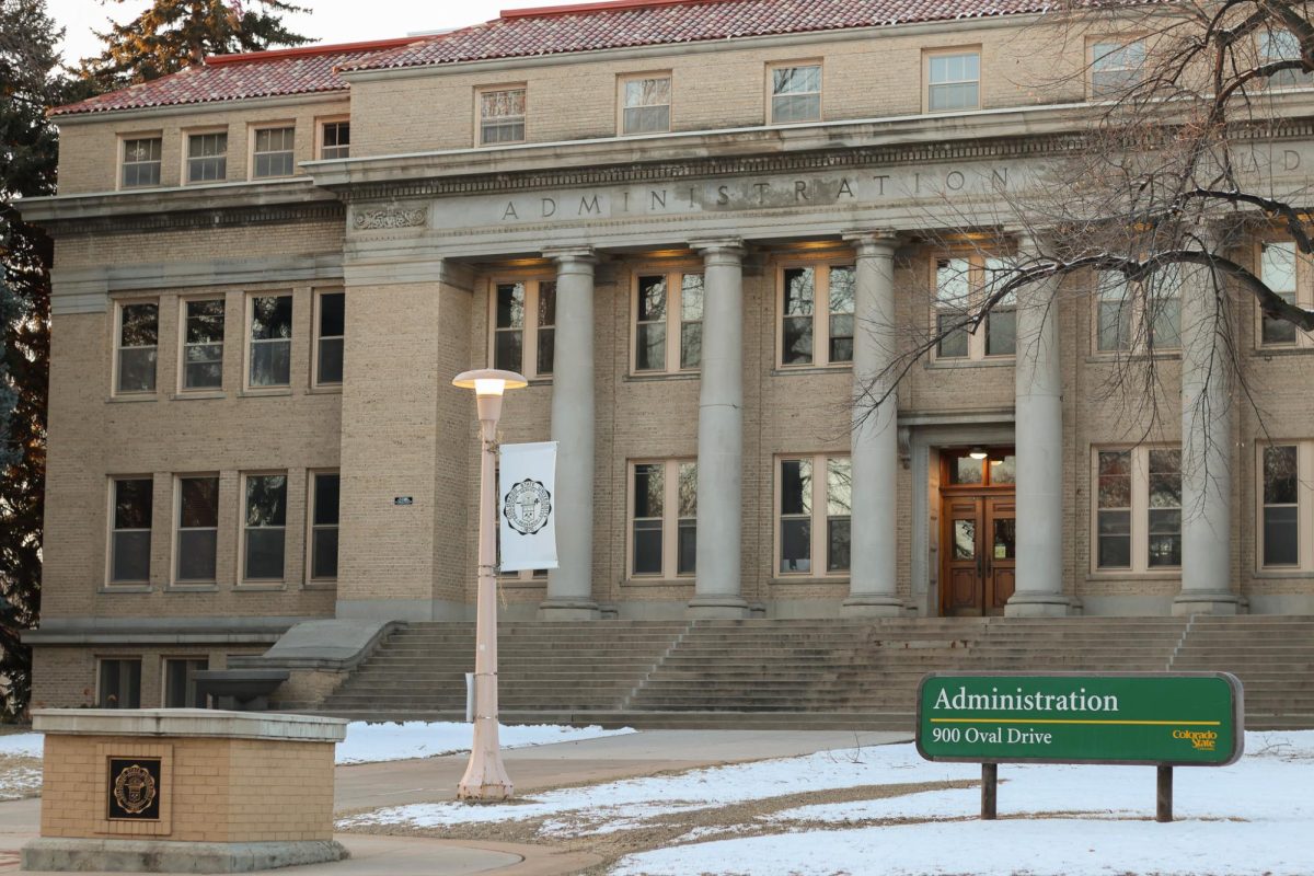
The Geospatial Centroid, the program’s office, is located on the second floor of the Morgan Library. While there is not a department for GIS at CSU, students can minor in spatial information management through the Warner College of Natural Resources or get a master’s in civil engineering with an emphasis in GIS.
“I don’t know everything in the world, and I’m not qualified to say it (CSU’s GIS program) is the best,” Quinn said. “But, from what I’ve seen, it is very very good, and it’s got to be one of the best.”
Senior natural resource management major Maxwell Cook is minoring in spatial information management systems and interns in the Geospatial Centroid. He said that GIS can be applied to any discipline and he enjoys getting the hand-on experience with the technology in the Centroid.
“Knowing these technologies is a job-getter,” Cook said. “Having the skill set sets you apart from the rest.”
Collegian Reporter Sady Swanson can be reached at news@collegian.com or on Twitter at @sadyswan.