In 1999, the CSU campus and surrounding community were flooded by heavy rainfall and run-off from surrounding bodies of water.
CSU may receive a blast from the past.
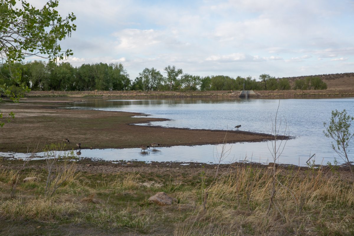
As of today, Fort Collins has been under a flash flood warning for 24 hours and counting. It’s estimated that the Poudre River will peak at 7,000 cubic ft. per second, which is comparable to the flooding in April 1999, according to a statement released from the city of Fort Collins.
CSU students are advised to stay safe and monitor the situation, especially if they live near low-lying areas near the Poudre River.
“If rains start to become heavy, with so much rain that we have already had and with rivers already as high as they are, do not venture any further,” said Nolan Doeskin, a climatologist at CSU’s Department of Atmospheric Science.
He urges students to steer clear of the river for the time being.
“Don’t do anything silly. Students have a long history of being adventurous near fast moving water,” Doeskin said.
Students should also be aware of multiple road closures still in effect near the Fort Collins area, according to CDOT. Major highways include Hwy 14 from Ted’s Place to Stove Prairie Road, Hwy 34 from the Dam Store to Estes Park, and Hwy 36 from Lyons to Estes Park.
River banks and culverts can be unstable and unsafe, according to the Denver/Boulder National Weather Service.
Those in the following areas should monitor the situation closely: Western Loveland, Estes Park, Berthoud, Glen Haven, and Drake.
Campus will remain under watch, but should not experience flooding in the near future. The Poudre River is under moderate to severe rainfall increases. According to the National Weather Service, the Poudre River will peak at 10.6 ft. on Friday and decrease from there.
Collegian Campus Editor Amanda Zetah can be reached at news@collegian.com