

Grab an umbrella and a jacket. Drizzle and light rain will continue to fall this morning and into the afternoon ahead of a mass of cool, Canadian air. During the mid-afternoon today, the cold front will pass through Fort Collins. Gusty winds will pick up out of the north and temperatures will rapidly fall. Temperatures will be in the 50s through about 3pm before falling into the 40s.
Overnight lows will be in the 30s, and mix of rain and snow will fall before 6am Friday morning. No need to worry, as it appears the snow will not stick to the ground. Tomorrow will be very cool with temperatures staying in the 40s day long.
Saturday and Sunday are forecast to be warmer with more sun. A weak cold front moves through on Monday, bringing cloud cover and dropping temperatures back to the 60s. Beyond the five day forecast, various weather models agree on a warmer and drier week.
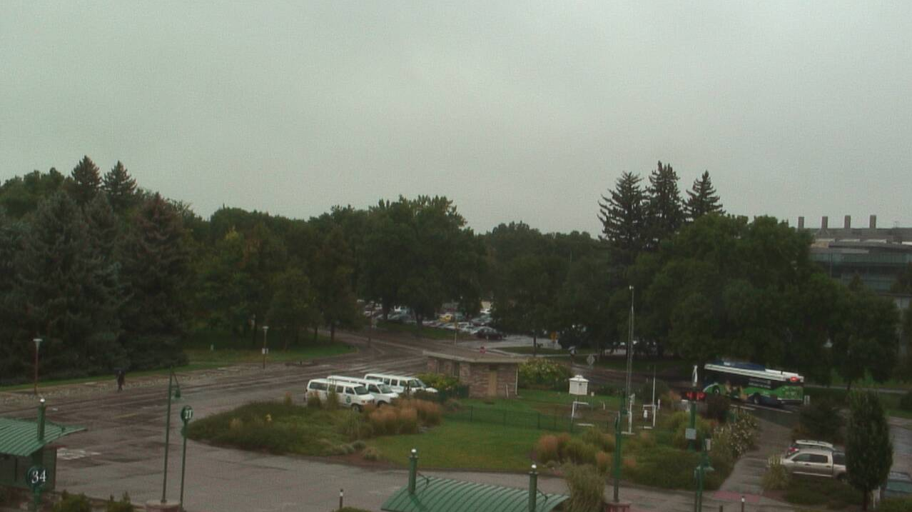
Pictured above: a view from the campus weather station near the Transit Center at 9:00am Thursday morning.


