

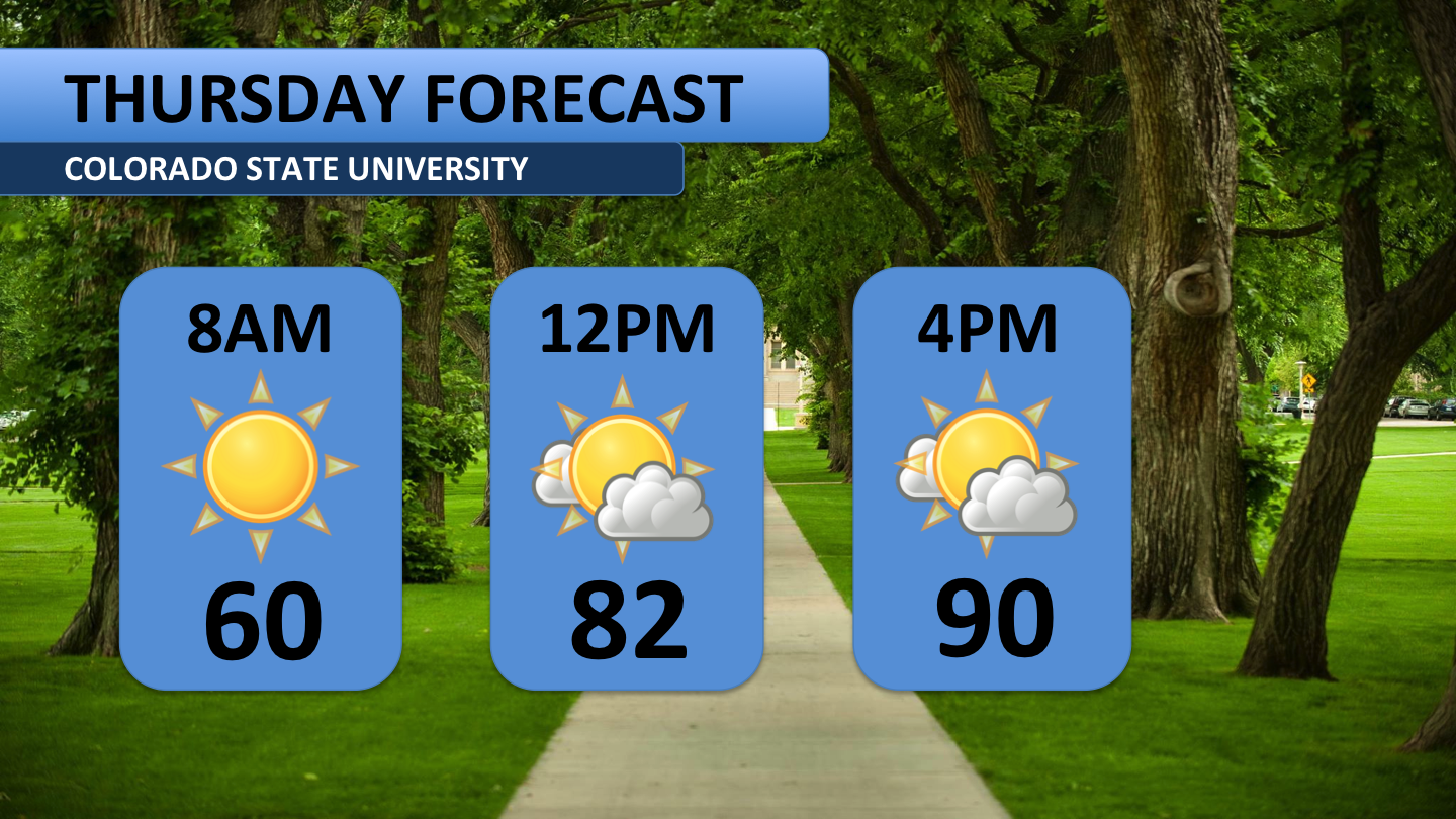
Sunny and warm/hot conditions have persisted through the entire week for Fort Collins and northern Colorado residents. Thursday and Friday will be no exception to that. In fact, the record high for Thursday is forecast to be broken.

Sunny to mostly sunny skies will be the norm across all regions of Colorado on Thursday. The upper-level airmass resting over the state is very dry and is creating conditions very adverse to thunderstorm development. A few clouds may be all anyone sees today. Due to the even drier weather, temperatures are expected to climb a degree or two higher than Wednesday’s peak temperature.
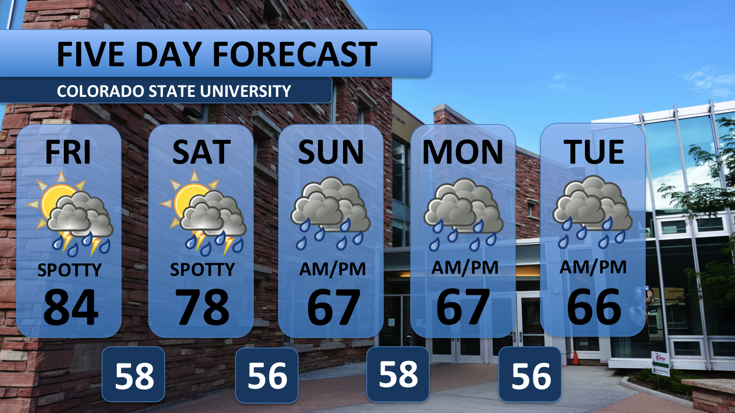
As the warm, dry airmass pushes east through the weekend, more moisture will slowly begin to move into the region. This is evidenced by the possibility for weak, isolated storms on Friday and Saturday. Looking ahead to next week, quite a bit of moisture is expected to enter Colorado. Cloud cover and humidity will increase significantly on Sunday, and rain showers can be expected throughout the day. That same moisture will stick around the area on Monday and Tuesday. At this time, it looks as if an umbrella and a jacket are going to be needed anytime during the start of the workweek. Both Monday and Tuesday should bring widespread rainfall to the region.
Have a specific weather-related question? Tweet your inquiries to @wx_harley or @ctv11weather. Check out the collegian.com every weekday morning for your CSU campus forecast.


