

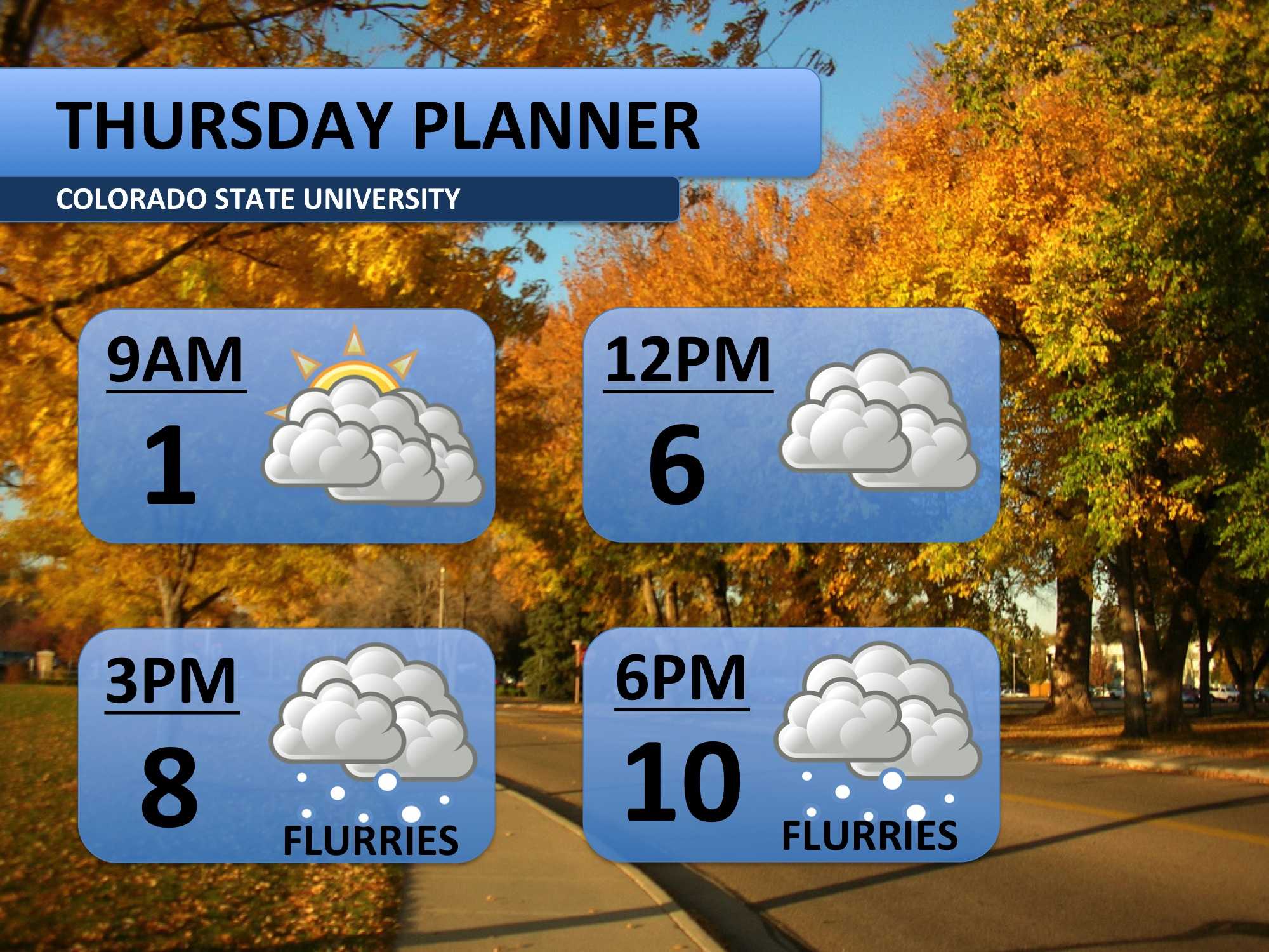
Cold weather continues to dominate the forecast. Early Thursday morning, temperatures dipped to -10 degrees in Fort Collins. Frigid temperatures combined with light winds forced a Wind Chill Advisory to be issued through 9:00am today. We should be a bit warmer today with a high temperature of ten forecasted. Light flurries through the afternoon and evening may add up to about 1/2 of an inch of snow.
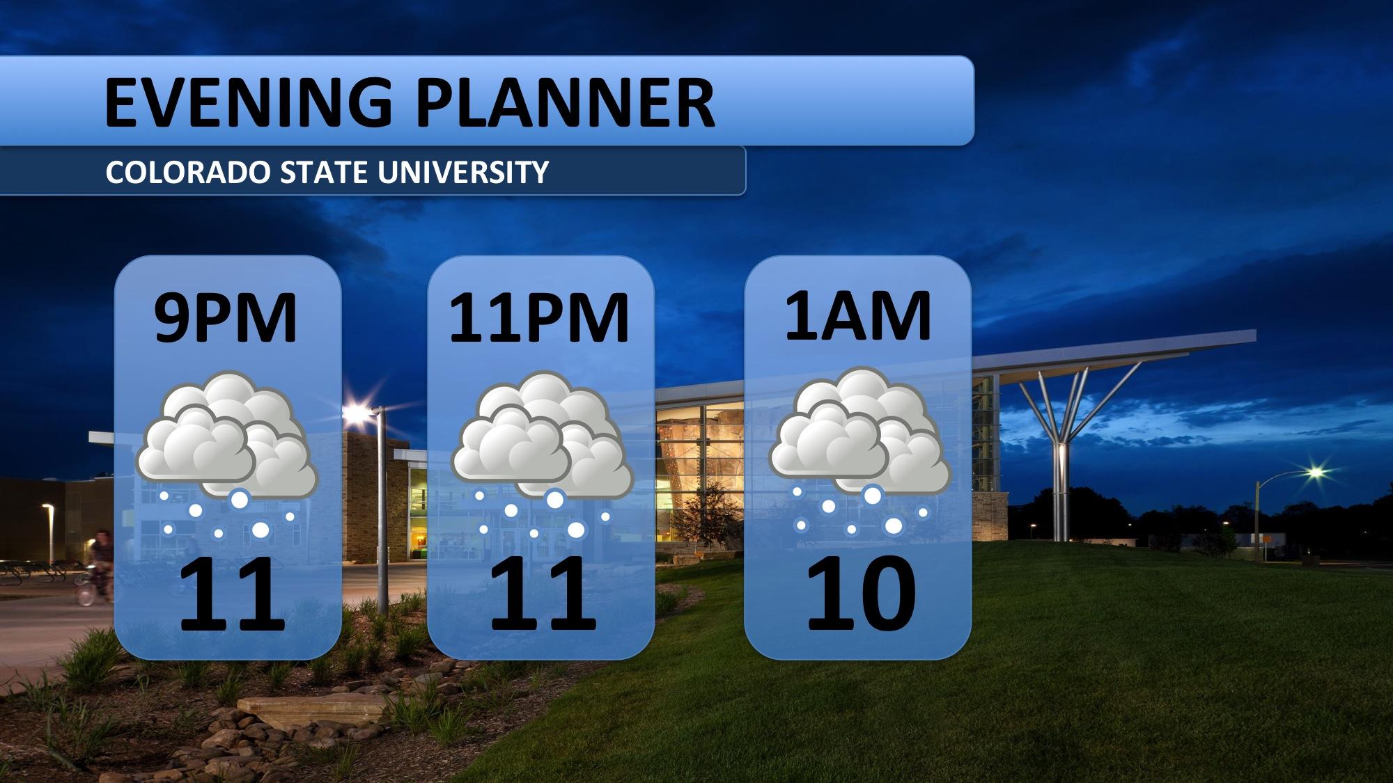
Conditions on Thursday night should be somewhat more tolerable than Wednesday night’s record low temperatures. Expect a few flurries and temperatures in the teens throughout the evening.
After a streak of extremely below average temperatures, Friday will offer some relief. For those hoping for a break from the snow, you’re in luck – Friday looks cloudy, but shouldn’t offer much for snow. By Saturday afternoon, the snow is forecast to return. Up to four inches of snow is forecast to fall through the afternoon, evening and into Sunday morning. Monday brings a return to Colorado’s abundant sunshine, but temperatures will stick to the twenties.

For those of you looking further ahead, it looks like a very slow warm up is on the way. 20s for Monday and Tuesday. 30s on Wednesday and Thursday. 40s may return for the last day of classes and the holiday exodus. Stay tuned for more information!
Meteorologist Austin Harley can be reached on Twitter: @wx_harley.


